Building Resilience on the Gulf Coast
The LAUNCH initiative brings together NSF NCAR, UCAR, Louisiana State University, and local communities to strengthen severe weather preparedness and disaster resilience.
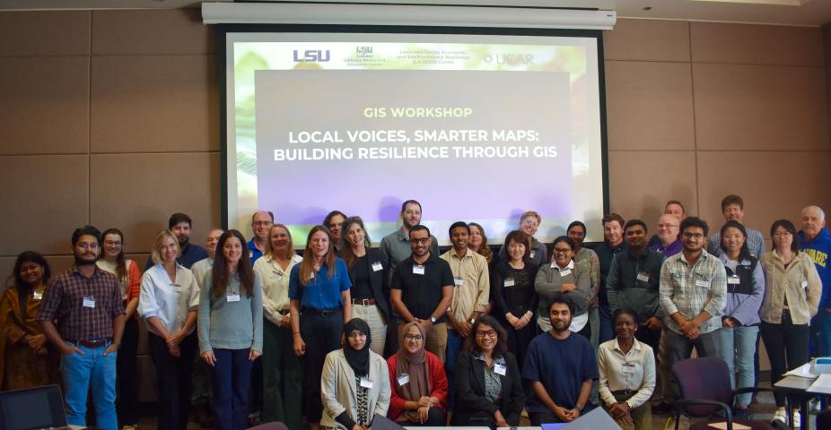
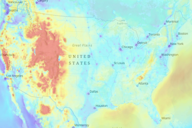
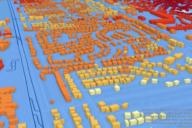
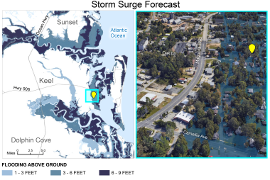
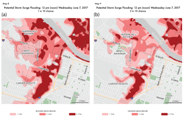
Over the past year, the LAUNCH initiative has brought together researchers, educators, emergency managers, and community members to strengthen disaster preparedness across Louisiana's Gulf Coast. As part of the effort, NSF NCAR's GIS Program introduced advanced hazard mapping tools and GIS training to help communities better understand and prepare for weather-related risks.
Read the full story from NSF NCAR, UCAR News: Severe weather preparedness project LAUNCHes at Louisiana State University