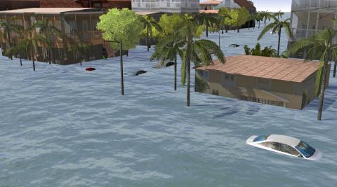
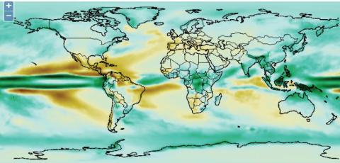
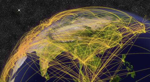
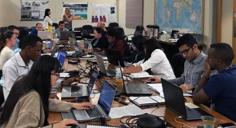
AVIATON: Serving The Aviation Industry to Mitigate Avoidable Weather Impacts and Enable Actionable Weather-Aware Operational Decisions Geovisualizations Creating innovative data visualizations at the intersection of climate, weather and society Geospatial Data and Tools Providing weather and climate data for GIS applications and tools to facilitate the use of NCAR’s models Geospatial Analytics Developing new methods, workflows, and analytical frameworks to explore complex interdisciplinary questions Tutorials Free tutorials teach GIS concepts and tools using weather and climate data Actionable Science Conducting interdisciplinary research to address complex weather and disaster-related societal challenges