Exploring Coastal Resilience and Flood Risk through Geospatial Storytelling

10:00 am – 2:00 pm MDT
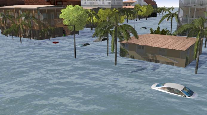
Flooding associated with hurricane storm surge presents a serious threat to many coastal communities in the United States. Reducing and managing risks from storm surge is challenging due to the complex relationships among the physical, social, and behavioral dimensions of the hazard, and the inherent uncertainty in storm-surge forecasting. Novel approaches in geovisualization provide exciting opportunities for visual communication of the risks and threats of storm surge to the public.
The 2024 GIS Program workshop will take place at NSF NCAR in Boulder, Colorado on August 12-13, 2024. The workshop will explore the role of geovisualizations and geospatial storytelling in building coastal resilience and hazardous weather risk communication. Participants will be introduced to the topics of coastal resilience, hurricane storm surge, data visualization, and risk communication. Participants will learn about geospatial storytelling using Esri technologies, such as ArcGIS StoryMaps, dashboards, and ArcGIS Experience Builder. This 2-day in person workshop will include GIS hands-on exercises, lectures, thematic presentations, and networking opportunities for the participants.
Students and early career researchers who are interested in coastal risks and GIS applications for hazardous weather communication will benefit from attending this workshop. Workshop participants will be selected based on their application. All selected participants will receive travel support and per diem to attend the workshop.
Application is now closed.
Thanks to all who applied and congratulations to the selected participants.
Questions can be addressed to the workshop organizers: Olga Wilhelmi (olgaw at ucar.edu) and Jennifer Boehnert (boehnert at ucar.edu). The workshop is supported by the NSF NCAR Education, Engagement, and Early Career Development (EdEC) funds.
Contact
Please direct questions/comments about this page to: