Workshops

Copyright University Corporation for Atmospheric Research (UCAR)
Hands-on Training and Education
GIS education at the science-society interface is an important component of the GIS program. Our society is facing many challenges related to weather, climate and environmental change. Extreme weather events, such as droughts, floods, hurricanes, and extreme heat events affect communities across the world. Addressing these complex and challenging problems requires an integrated, interdisciplinary research as well as broad participation of researchers, educators and decision-makers.
GIS Program workshop series provide an opportunity for participants to adopt an interdisciplinary approach to these scientific and societal challenges. Workshop training materials typically focus on integration of atmospheric science and data with traditional GIS data and spatial analysis to facilitate interdisciplinary research and decision making. Workshop themes range from human health and weather disasters to security and coastal resilience.
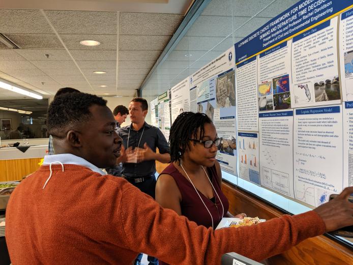
Through presentations, hands-on GIS training, and group projects the workshop participants learn about interdisciplinary science, acquire GIS skills, and gain experience with social science methods and science communication approaches.
Our hands-on GIS exercises use a number of different GIS applications, from commercial GIS tools, such as Esri software, to open source tools such as Quantum GIS, GRASS GIS, and MultiSpec.
Contact
Please direct questions/comments about this page to: