Actionable Science
Building on our core expertise in actionable science, convergent research and spatial methods for integrating multidisciplinary datasets, we study complex questions of risk and resilience where spatial analysis and geospatial information are critical to understanding the relationships and interactions between society and environment.
We are conducting research that is guided by complex societal problems producing outcomes aiming at building coastal and urban resilience, improving human health and well-being, and responding to the challenges of environmental change. In our work, geographic perspective and GIS technology play key roles in data integration, visualization, and science communication.
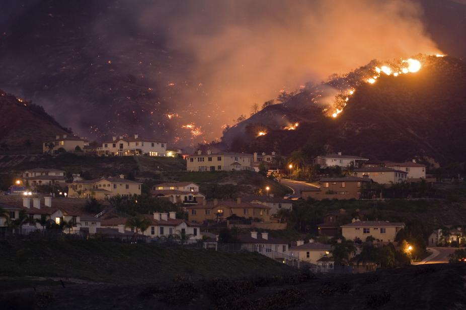
Our work on societal risk and resilience to weather extremes focuses on wildfire, extreme heat, coastal flooding due to hurricane storm surge, and severe weather.
We developed infrastructure, tools, and methods to increase usability of the Earth system science output and accessibility of data for developing solutions to pressing societal challenges associated with environmental change.
The NCAR GIS program in the Research Applications Laboratory developed this 3-dimensional GIS-based animation of storm surge inundation through the NSF-funded CHIME project in collaboration with the NCAR Mesoscale and Meteorology Laboratory and University of Georgia Marine Extension and Georgia Sea Grant. This simulation demonstrates how quickly storm surge flooding can occur.
Copyright University Corporation for Atmospheric Research (UCAR)