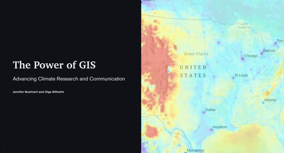
The Power of GIS
Advancing Climate Research and Communication
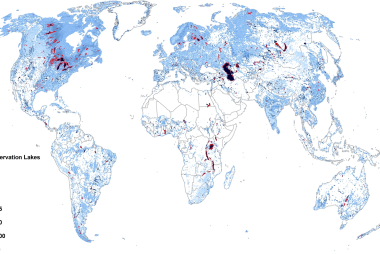
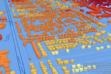
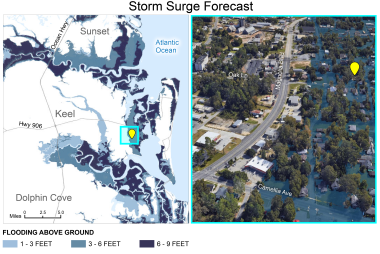
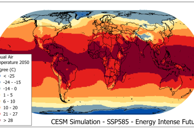
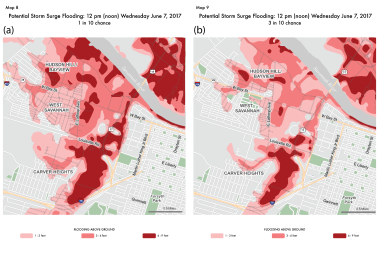
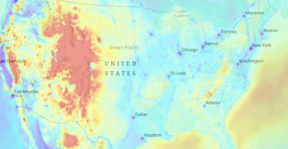
The GIS Program at NCAR advances actionable and convergent Earth System science through geographic information science and technology, geospatial analytics, and geovisualization. Learn more about how we are using GIS to further climate research and communicate impacts and solutions in our ArcGIS StoryMap, "The Power of GIS" by Jennifer Boehnert and Olga Wilhelmi.
Click to view "The Power of GIS" StoryMap
