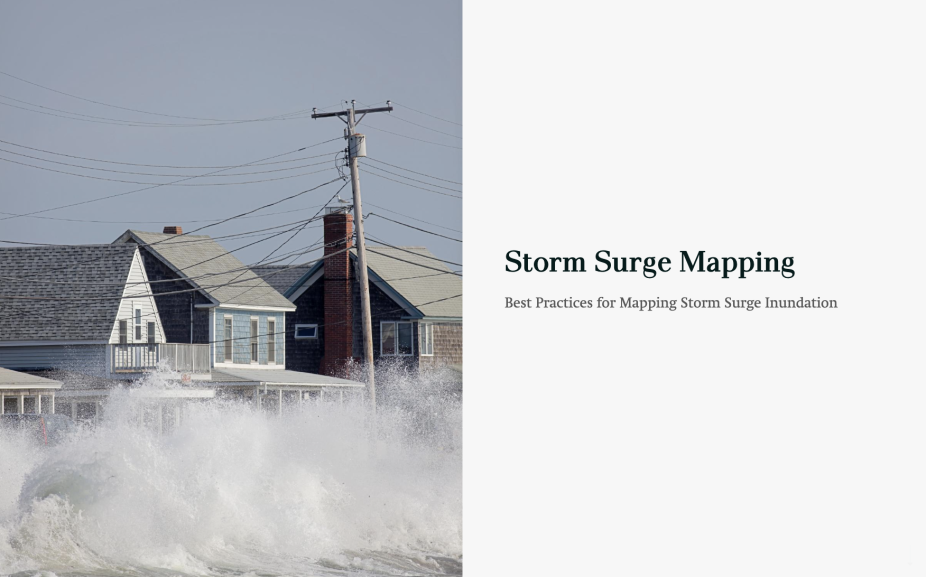
Storm Surge Mapping
Best Practices for Mapping Storm Surge Inundation
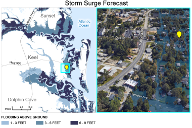
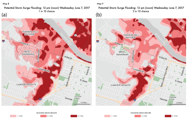
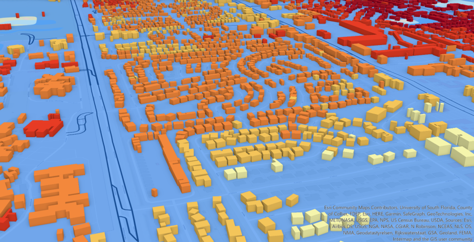
Developing visualizations of the storm surge hazard that are intuitive and easy to comprehend are vital for understanding the risk of flooding and for decision making when individuals are preparing, mitigating, and responding to this type of weather hazard. In this StoryMap, we consider different cartographic principals when creating storm surge maps and discuss how to best communicate the information about potential storm surge flooding.
Click to view the StoryMap: "Storm Surge Mapping: Best Practices for Mapping Storm Surge Inundation"
