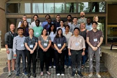
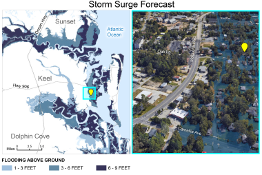
Exploring Coastal Flood Risk through Geospatial Storytelling
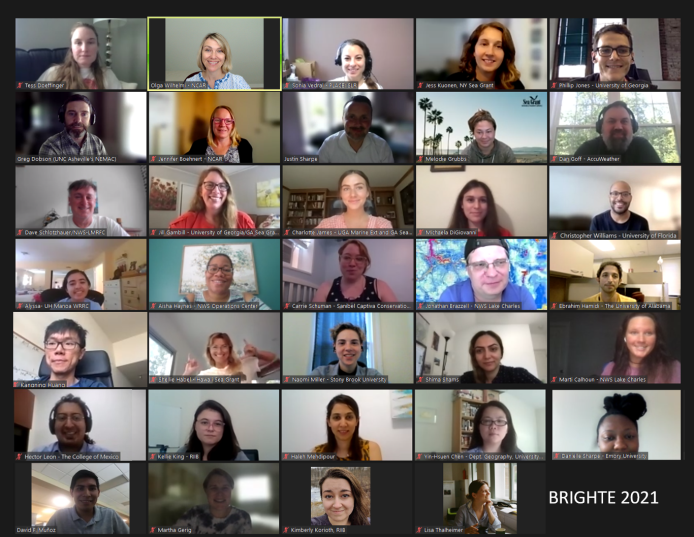
BRIGHTE Workshop Series held virtually in 2021

Copyright University Corporation for Atmospheric Research (UCAR)
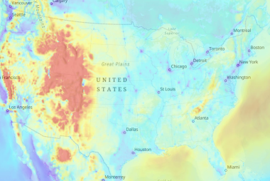
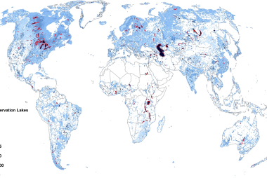
BRIGHTE stands for Broadening Participation in the Interdisciplinary Geosciences: Hands-on Training and Education. Our society is facing many challenges related to extreme weather and climate change. Droughts, floods, hurricanes, and extreme heat events affect communities around the world. Addressing these complex problems requires interdisciplinary or convergent research as well as broad participation of researchers, educators, students, and decision-makers, especially from traditionally underrepresented populations and communities.
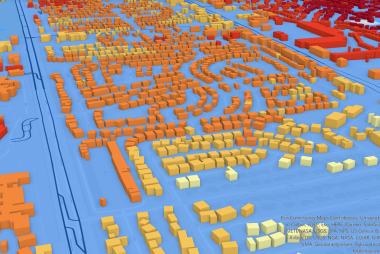
The BRIGHTE workshops provide an opportunity for participants to embrace interdisciplinary approaches to these scientific and societal challenges and to learn how to apply geospatial thinking and GIS tools in research and science communication. Workshop themes range from human health and weather disasters to food security and climate adaptation. Through presentations from domain experts, hands-on guided GIS exercises, and group discussions the workshop participants learn about interdisciplinary and convergent science approaches and acquire practical GIS skills. Our hands-on GIS exercises are designed using Esri and open source GIS tools. For example, our 2021 BRIGHTE workshop, “Exploring Coastal Flood Risk through Geospatial Storytelling” was focused on the role of geovisualizations in hazardous weather risk communication. We are excited to continue exploring this theme during the upcoming 2022 BRIGHTE workshop this summer. For more information, contact Olga Wilhelmi or Jennifer Boehnert.