How Does Connection to Place Shape Hurricane Risk Perception and Preparedness?
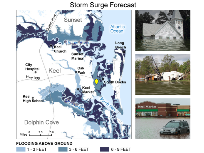
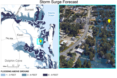
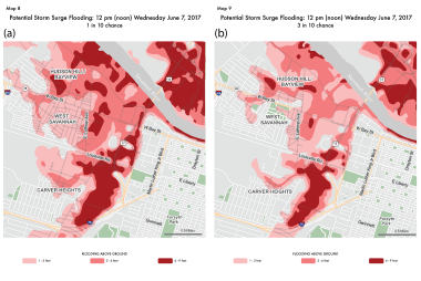
How does our connection to the communities where we live influence how we respond to hurricane storm surge forecasts? Recently published research by NSF NCAR scientists Julie Demuth (MMM), Olga Wilhelmi (RAL), and colleagues explored how a person’s place attachment shapes their perception of hurricane risks and their intention to take protective actions. This study, based on a survey of 1,442 coastal residents across hurricane-prone areas of Georgia and South Carolina, also explored how different ways of visualizing storm surge forecasts on maps and 3D images affect those perceptions and preparedness decisions.
Full Article: https://riskinsight.substack.com/p/how-does-sense-of-place-influence